Anyone driving South on the 101 over the Conejo Grade has had a glimpse of Boney Peak. Boney Peak is one of the many peaks which make up Boney Mountain, which includes the Tri-Peaks. I’ve hiked to the peak six times and I am still unsure if I love it or hate it. What I do enjoy is the cloak and dagger, unofficial, untamed, it-doesn’t-exist-on-a-map reputation. Once you go beyond Danielson’s Monument there is no trail to be found on official maps. So I am here to tell you about it. I can get you there (but you really can’t miss the trail).
History
There has been ranching in this area since the early 1800’s. This area of California was once under Spanish rule from 1769-1821. In 1803, two Spanish soldiers, Jose Polanco and Ygnacio Rodriguez where granted 48,572 acres of the area. They called it “Rancho El Conejo”. The Rancho encompassed what is now Newbury Park, Thousand Oaks and Westlake Village. Polanco lost his land due to neglect. What he did I do not know, but in 1822 his property was granted to Jose de la Guerra y Noriega.
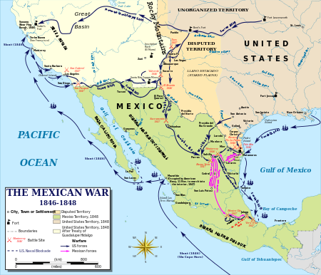
The Mexican-American war occurred between 1846-1848. The 1848 Treaty of Guadalupe Hidalgo ended the war. As a consequences, the cession of California from Mexico to the United States occurred in 1848 following the Mexican-American War. The Treaty of Guadalupe Hildago had provisions which honored the land grants in the Conejo Valley. The properties remained in the de la Guerra families and Rodriguez until the 1860s. During this time a drought decimated the local cattle and the two families began selling the property.
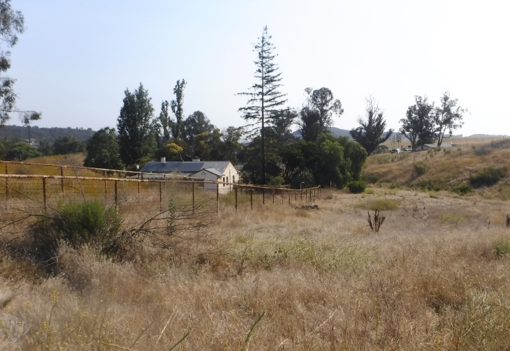
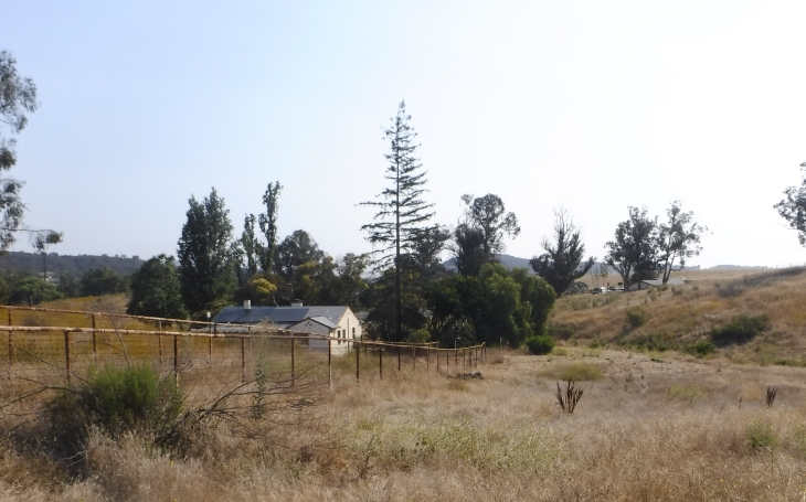
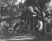
In 1937 Carl Beal, a wealthy petroleum geologist, purchased nearly 8,000 acres of the property and named the area Rancho Sierra Vista. He built most of the ranch buildings and houses you will see on the property during the hike. Beal constructed a system of wells, springs, dams and reservoirs that provided water to his ranch. You can still see some of the 14 miles of steel pipes used to move the water as you hike along the trails.
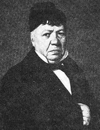
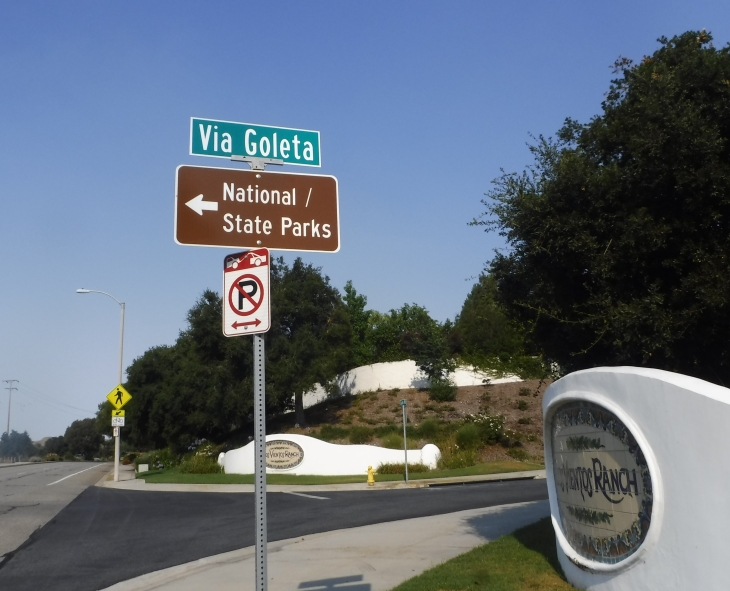
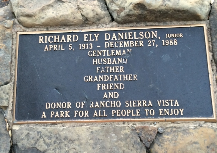
In 1947 Richard Ely Danielson, Jr. purchased the property from Carlton Beal (Carl Beal’s Grandson) for approximately $500,000. Danielson had inherited a substanial fortune from who grandfather (founder of International Harvester). Mr. Danielson lived with his family in Los Angeles and would often visit Rancho Sierra Vista. Danielson donated 5,585 acres of the ranch to the State of California from 1972-73. When he decided to retire in the 70’s he said that he donated the property because “…it was just too beautiful for any one man to own.” He sold 850 acres, including the horse ranch, to the National Park Service in 1980. Thus the National/State Parks sign as you enter the park.
Richard Ely Danielson, Jr. on the left of this picture. Photo Credit: Google Images
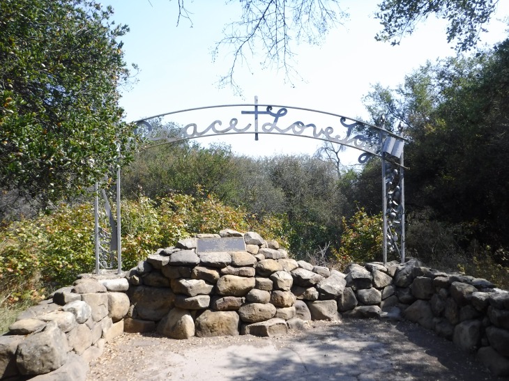
Mr. Danielson passed away December 27, 1988. The Danielson Monument was erected as a tribute to him among Sycamore and Oak trees. He and his family would often stay at this spot. He is buried there. Plots are reserved their for the rest of his family.

According to the National Parks Conservation Association, “the majority of the barns, equipment sheds, well and staff residences from this period (1936-1946) remain, making Rancho Sierra Vista historically significant as one of the last intact 20th-century ranches in the Santa Monica Mountains.
The Hike
Type of Route: Out and Back
Distance: 8-11
Peak Elevation: 2,903 ft
Elevation Gain: 1,100 ft
Time: 4-6 hrs
Difficulty: moderate to strenuous
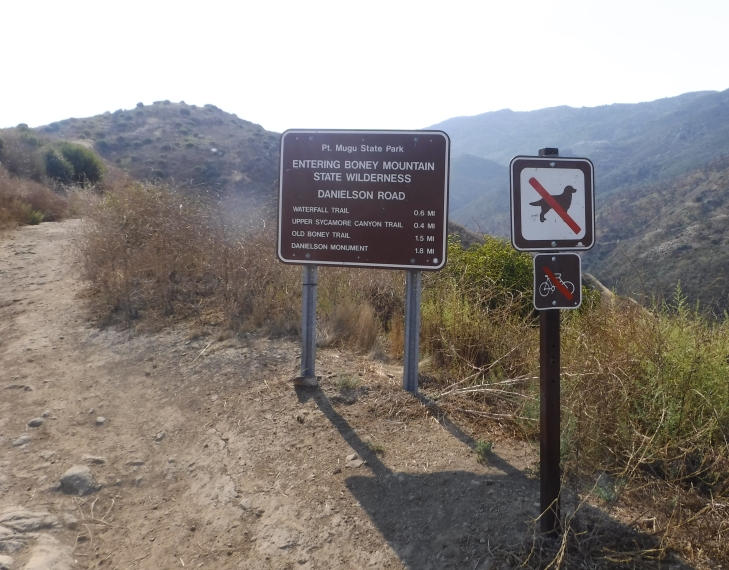
Dogs Permitted: Yes on the lower part of the hike. Dogs cannot be on the Federal property. Signs are posted where dogs can and can’t hike. I would suggest not taking a dog to avoid the confusion.
Permit: none
Fee: none
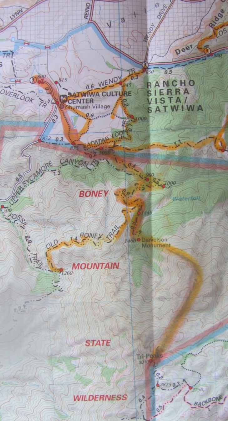
It was very difficult to give the stats for this hike. You can choose to begin from the Trail head 0.3 miles from the Satwiwa Culture Center (I begin here) or from Wendy Drive. You can visit the waterfall or not. Depending on the routes you choose, you will be hiking 8.3-11.0 miles.
The Hike
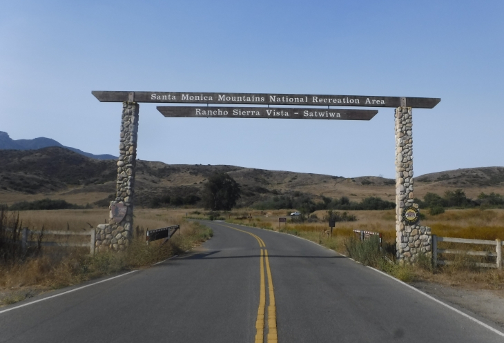
I begin the hike by entering the Rancho Sierra Vista Park on Via Goleta and Lynn Road in Newbury Park. The gate opens at 8:00 a.m. Many hikers and bicyclists park outside of the gate to get an earlier start. I’ve done this a number of times. It is about 3/4 of a mile to the trail head if you walk.
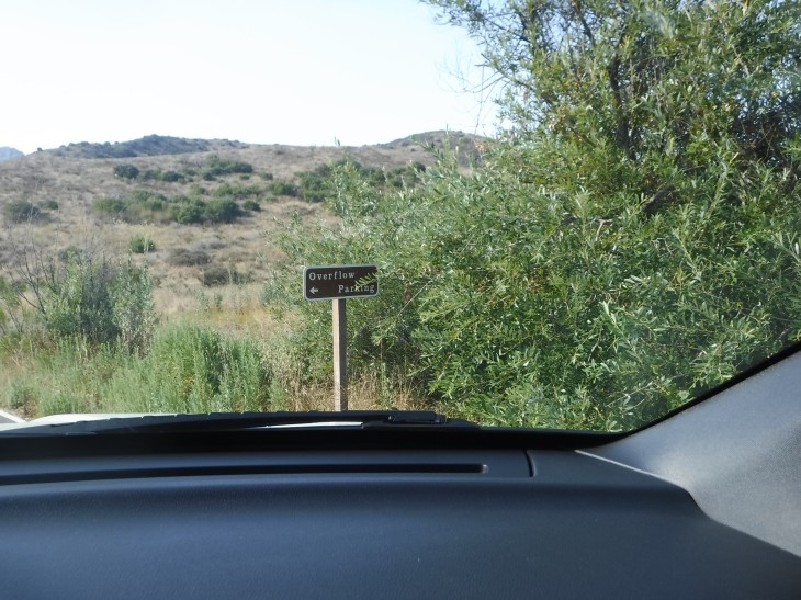
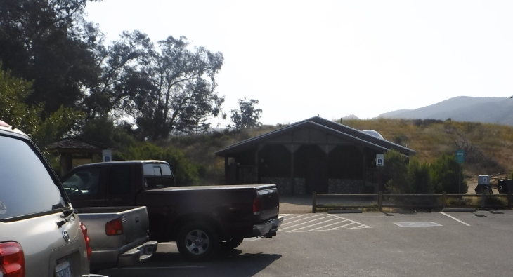
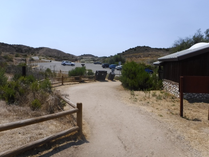
On the way to the main parking, you will see an “over-flow” parking lot on your left. At the main parking lot there are restrooms, a water fountain and a working pay-phone.
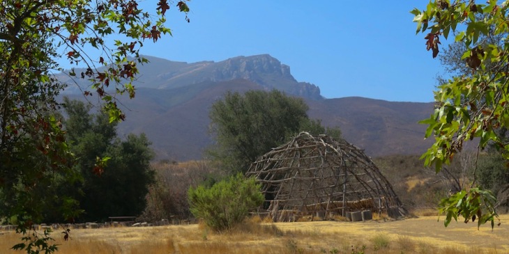
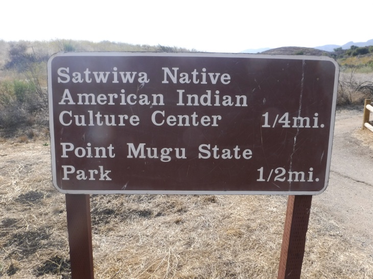
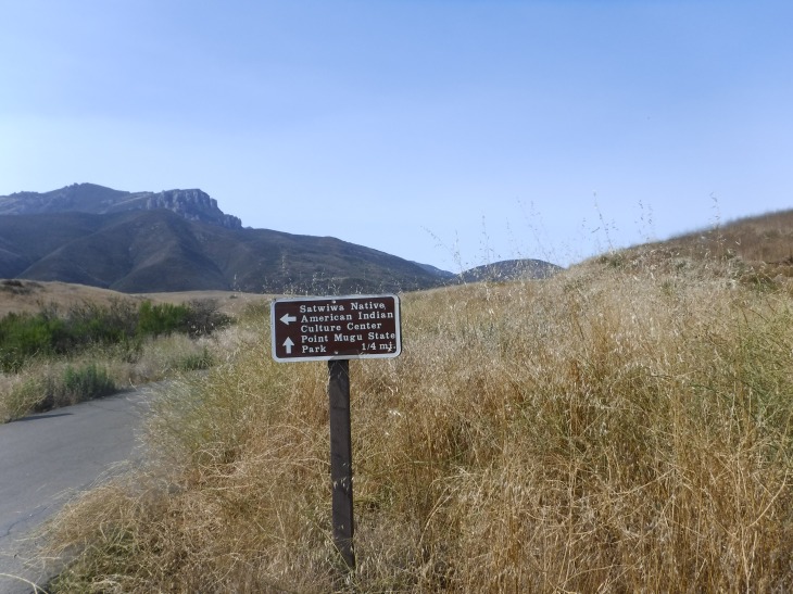
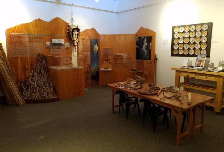
From here it is a 0.3 mile walk to the Satwiwa Native American Indian Cultural Center.
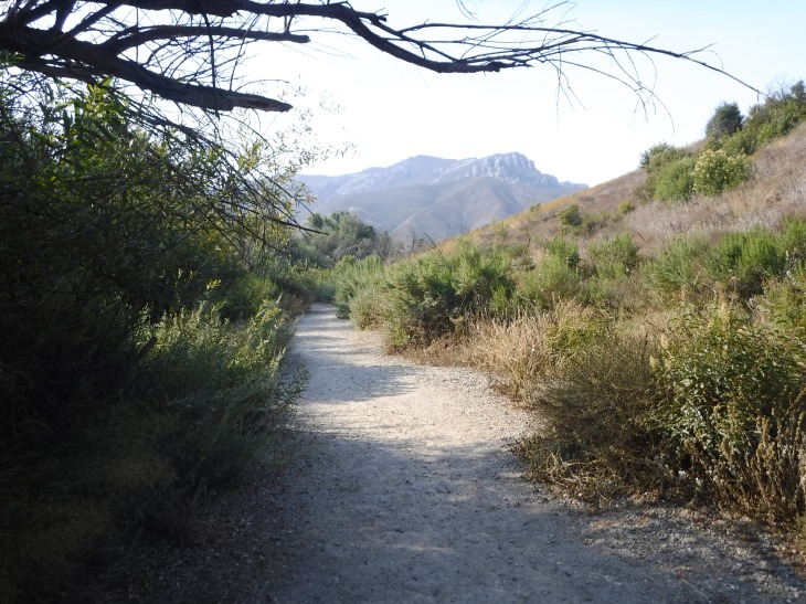
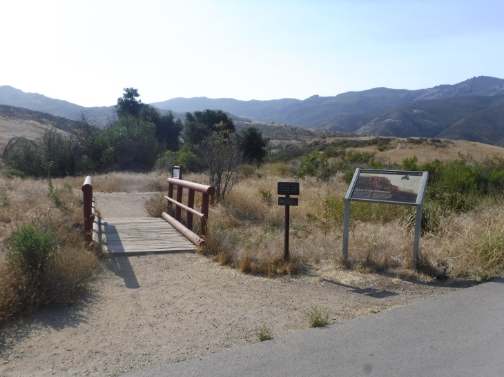
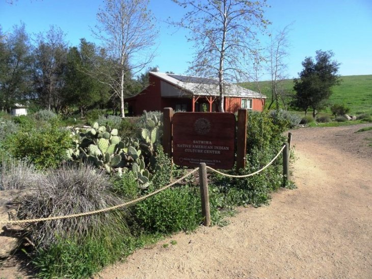
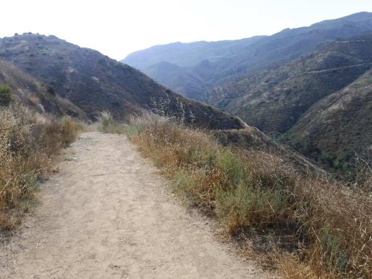
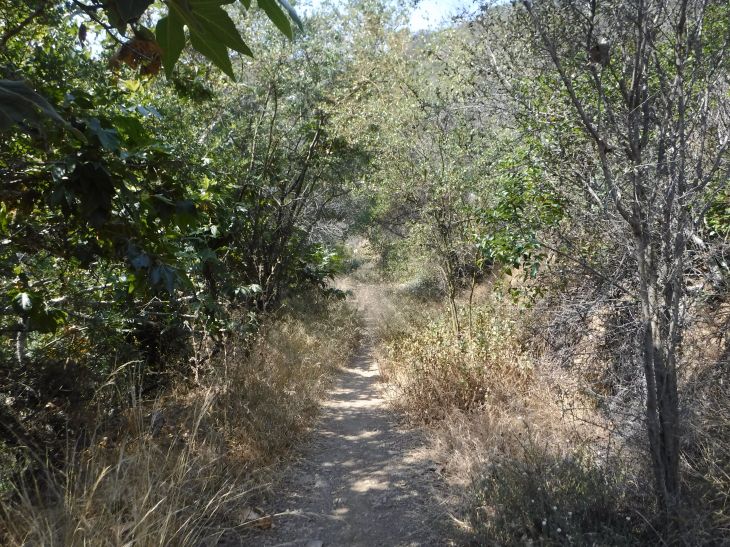
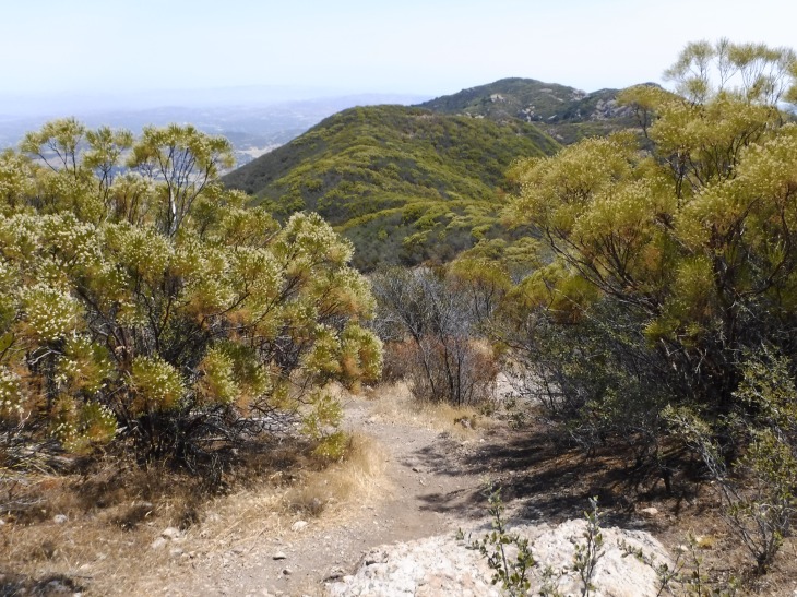
When you go over the red bridge and take the path to the right away from the cultural center you are on the Big Sycamore Canyon Trail. This crosses over the meadow which in the summertime is dry and brown but in the winter and spring it’s beautifully green and grown over with grass. At the end of this meadow you will continue up along a fairly steep hill. You will pass three different trail heads on the way up to the bench. These hikes are for another day. Carry On.
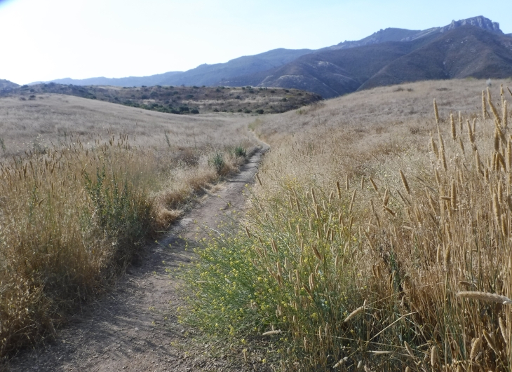

You will continue up the hill until you come to a crossroad. Stay to the right and you will be entering the Boney Mountain Wilderness area within Point Mugu State Park. At this point, dogs are no longer allowed for the rest of this hike. This trail is referred to as Danielson Road. After .4 miles, you will reach the bottom of the canyon.
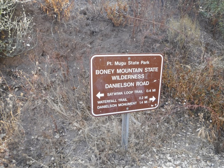
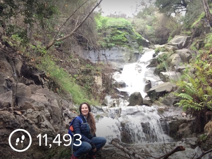
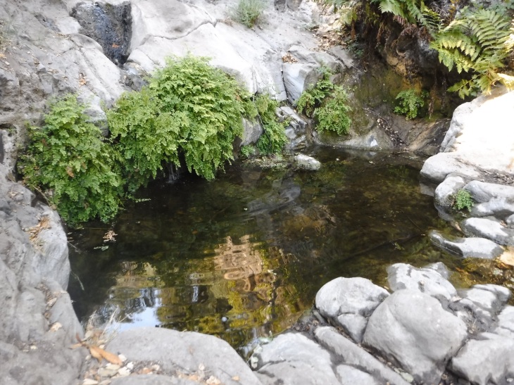
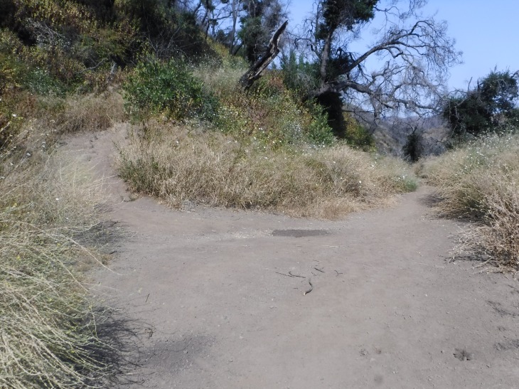
If you have the time I recommend you stop by the waterfall. It adds only 0.4 miles to the trip. I have been hiking this trail for six years. This year, 2017, was the first year I actually saw a waterfall. After years of drought it was not flowing. This year brought rain and the river filled up. It has slowed to a trickle when I did this hike. It is a single track trail, slightly overgrown to the waterfall. There is poison oak on the way. You will soon come to a fork in the trail. Go straight on to the waterfall.
If the waterfall is your destination, this will be your turn-around. By the time you get back to the parking lot you will have completed a 31/2 mile hike. That makes for a nice hike. But we are not done. We are now going to head to Danielson’s Monument. Return the way you came down to the falls. This time when you come to the fork, head up. You will be beginning a set of switchbacks.
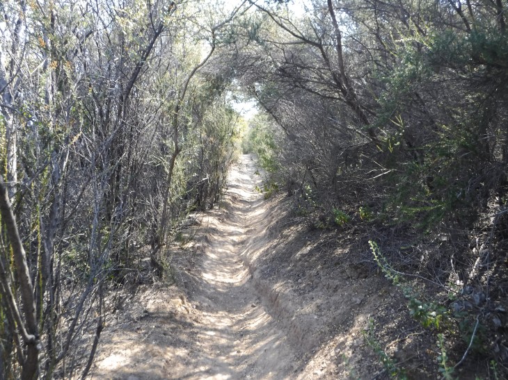
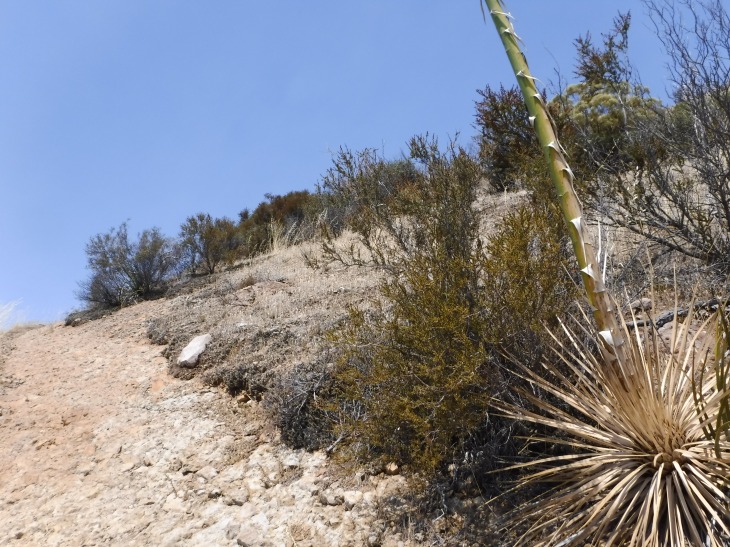
Just beyond this point, the terrain will change and the trail moves into a wooded area. When I went through it was very overgrown with tall grasses and poison oak. It is only 0.2 miles from here to Danielson’s Monument.
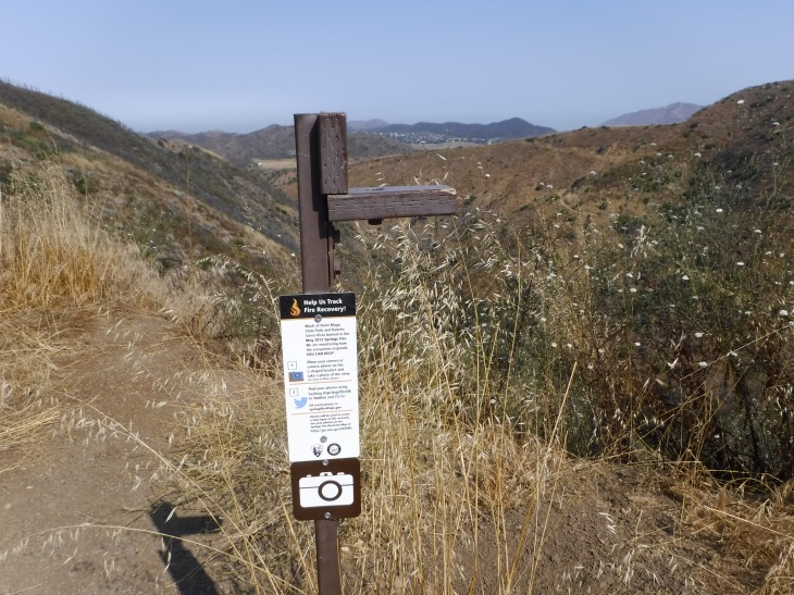
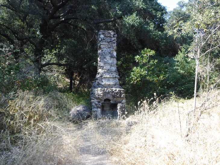
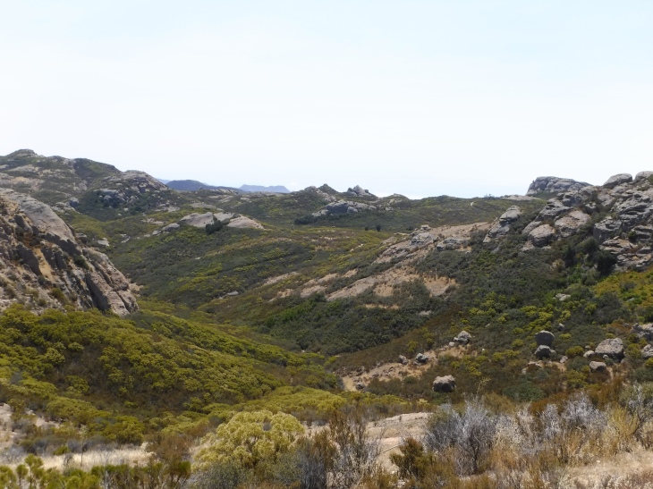
Many people hike to Danielson’s Monument. Many people stop here to rest, snack and head back down the mountain. While you are here you will be able to see the remains of Mr. Beal’s Cabin. Some stone pavers and a chimney are all that are left. The hike to the Monument is 5.5 miles round trip with a 600 foot elevation game. This a great hike, a worthy endeavor. If you went to see the waterfall you have done a 6 mile hike. This is where the official park maps end. We are going on to the peak.
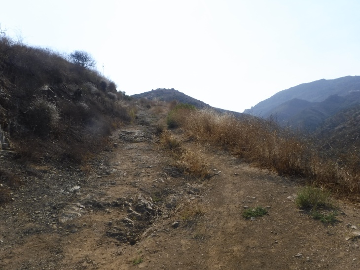
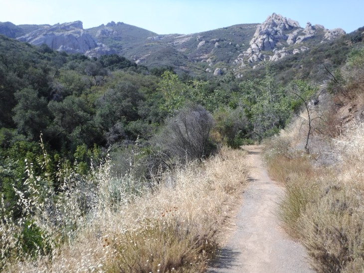
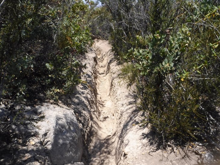
The “unofficial” trail to Boney Peak begins to the left of the chimney. It is overgrown but still easy to follow. The trail seems to have been created by water runoff from the peak. The ruts can be very deep. From this point, it is about 2 miles to the peak. The hike up is quite steep. You will be going over several large boulders. I found my hiking pole very helpful in going up and down this section.
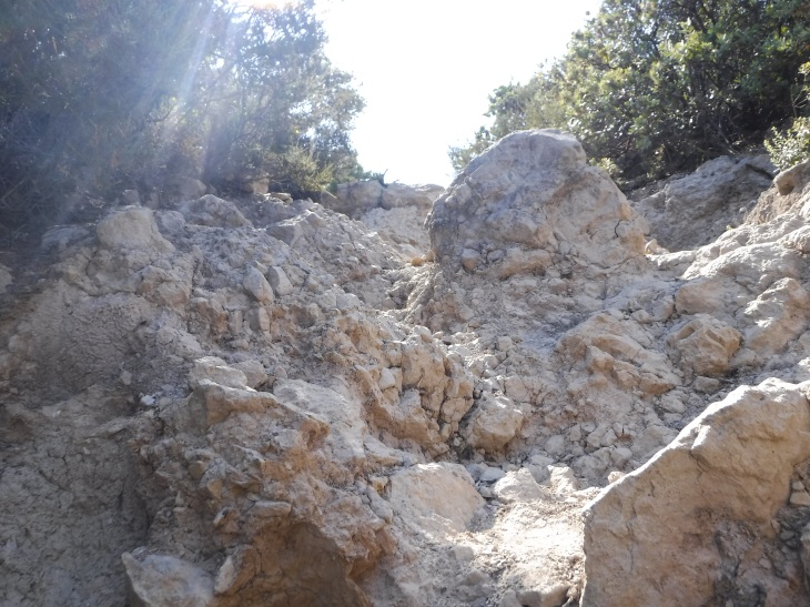
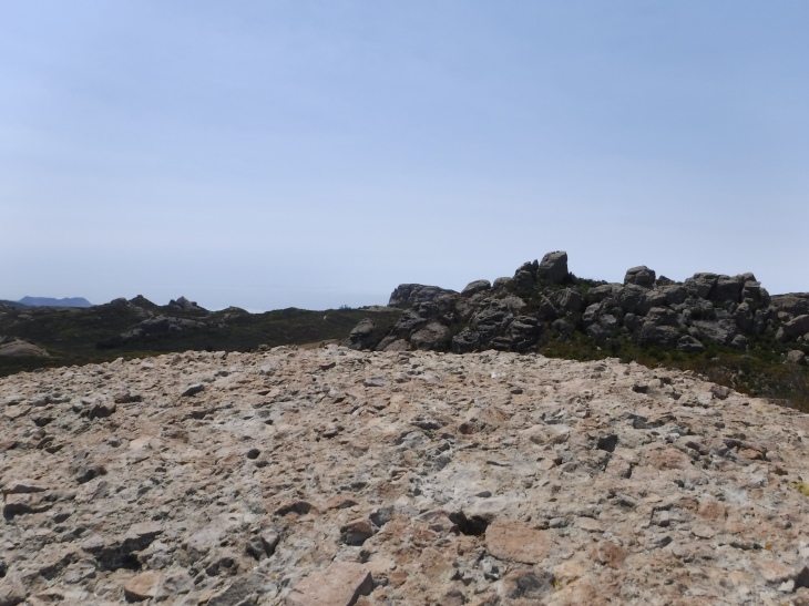
The path opens up to rock passages. The path continues to be easy to follow. Once you reach the rocky area you quickly come up to the summit.
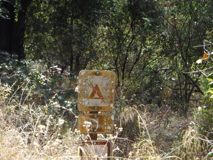
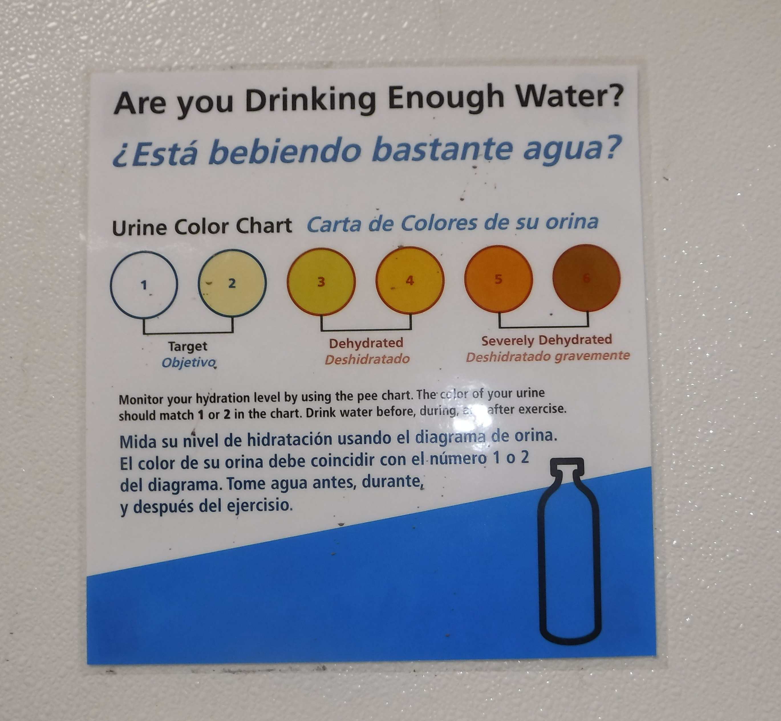
Now to get back down. Went through a few more ruts. For the first time I found this sign which told me not to camp, made my way to the parking lot and in the bathroom found the best dehydration sign ever.
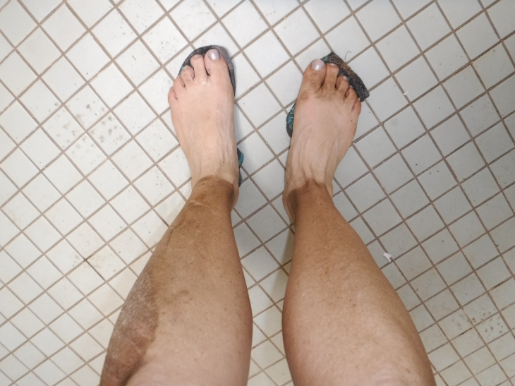
Another adventure on Boney Peak. I still am not sure how I feel about this hike. It IS a great training hike for the bigger peaks. It does have its own beauty and it transmutes throughout the year. I’ll be back. But now it’s time to wash off these feet and move on to the next adventure. I can’t wait to tell you about Rose Valley.


Awesome pics!
LikeLike