
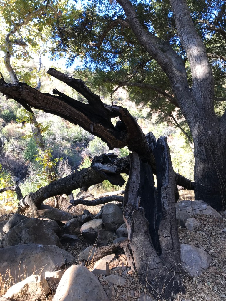
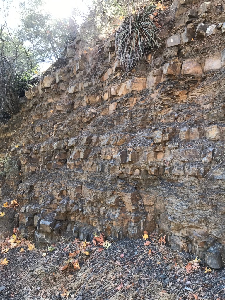
Today was the first time I had the chance to visit Sisar Canyon since the Thomas Fire three years ago. The canyon has made a remarkable recovery. I was surprised to find so much water this time of the year. The trail was lightly traveled on my way in. I got a late start, 9 am. On my way out there were larger groups of people enjoying a hike there. I passed two scouting groups.
I was able to get parking at the trail head. The parking is limited. If you have never driven on Sisar Road it is a single lane drive running through a quaint neighborhood. There is no parking in the neighborhood. If you can’t find parking at the trail head you’ll have to park on Hwy 150.
The Hike (Sisar Canyon to the start of single track trail to White Ledge)
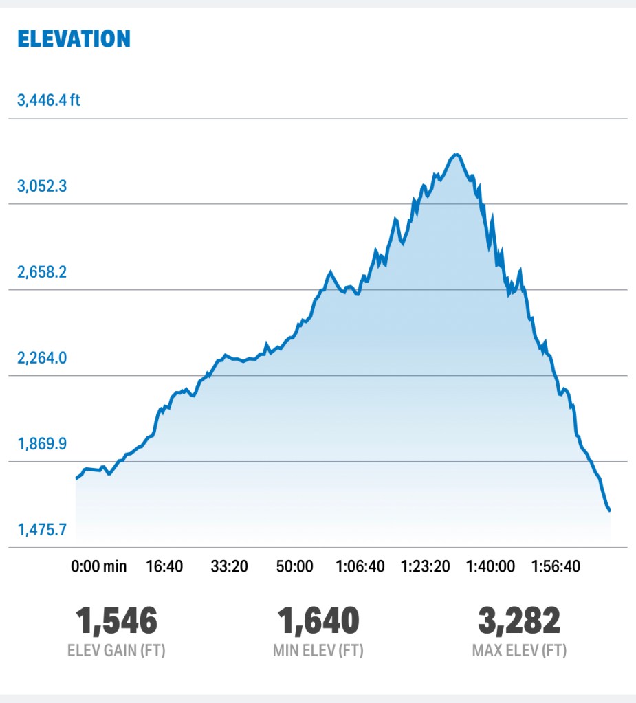
Length: ~7.5 miles
Elevation: 3,282 feet
Elevation gain: 1,546
Type: Out and Back
Dogs: yes

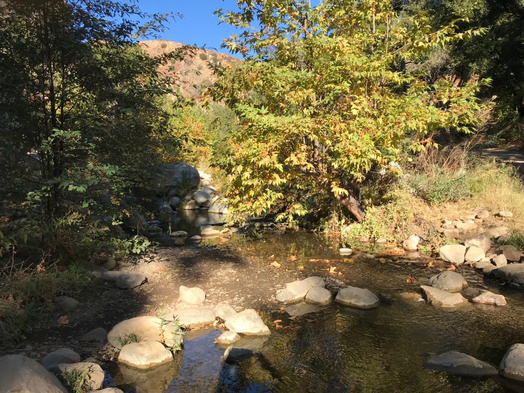
Very quickly I began to hear water. The creek is on the right at the beginning of the hike.
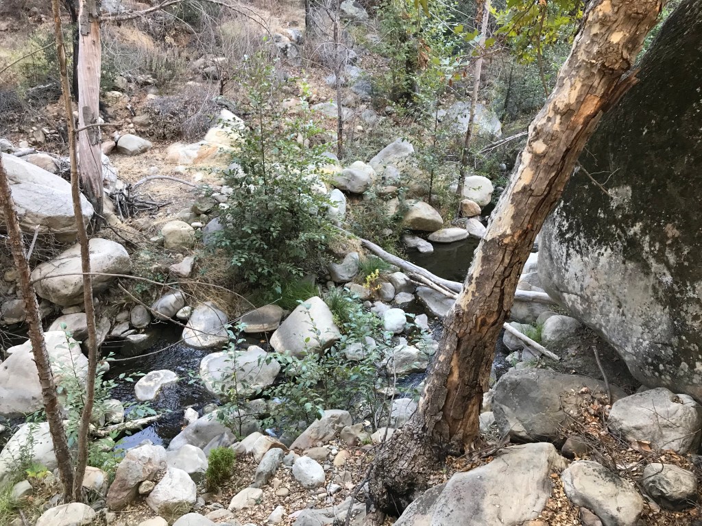
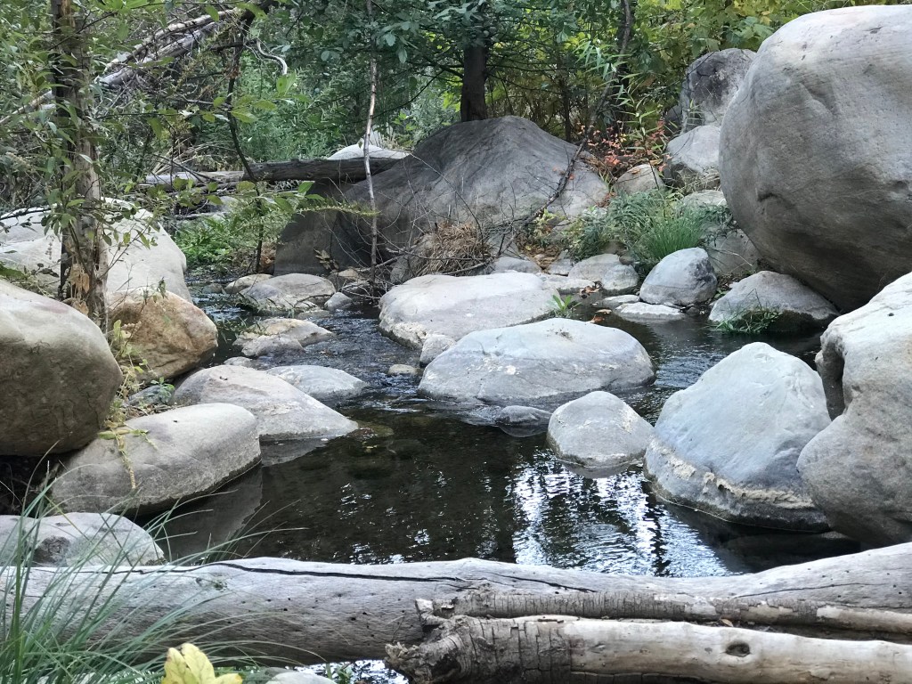
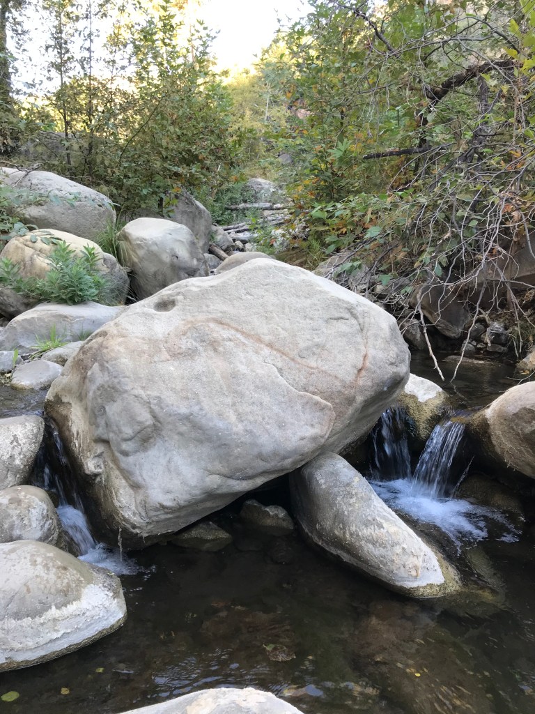
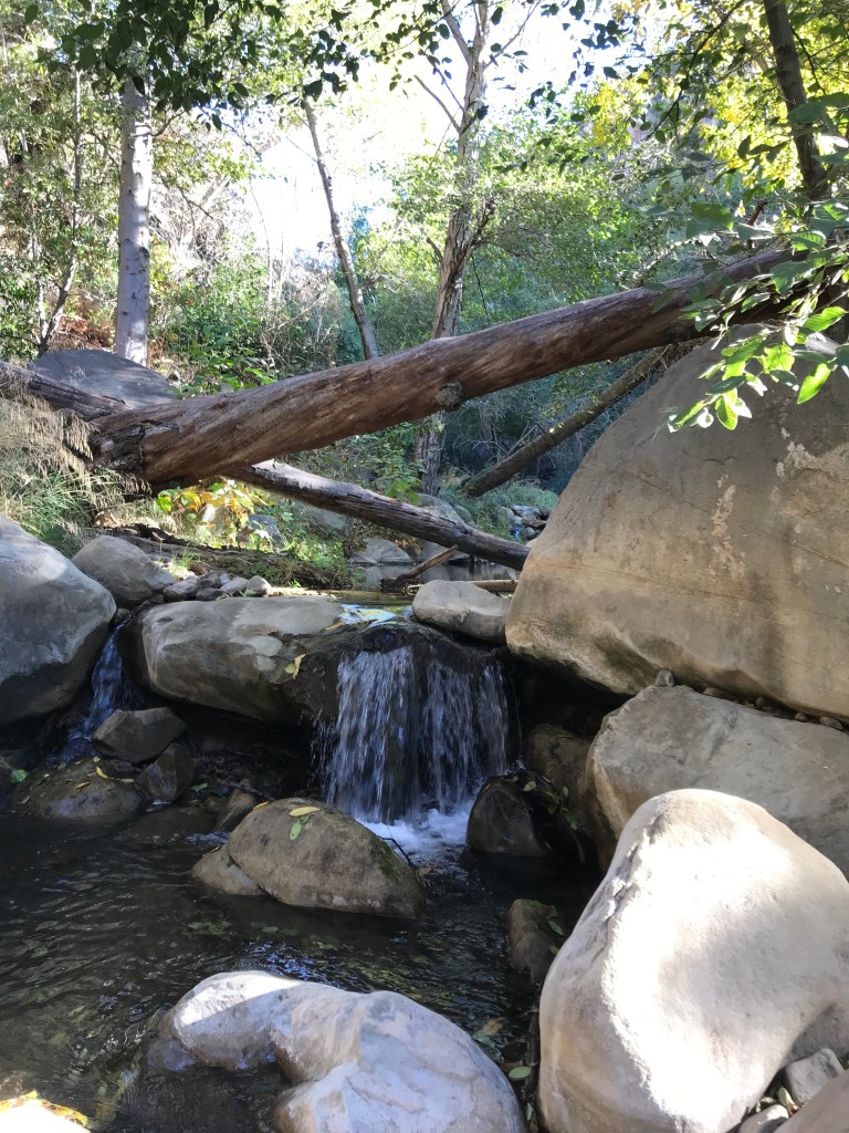
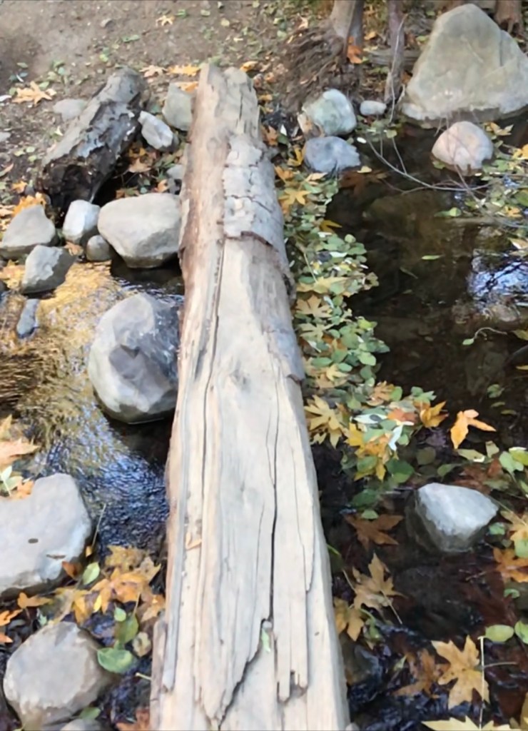
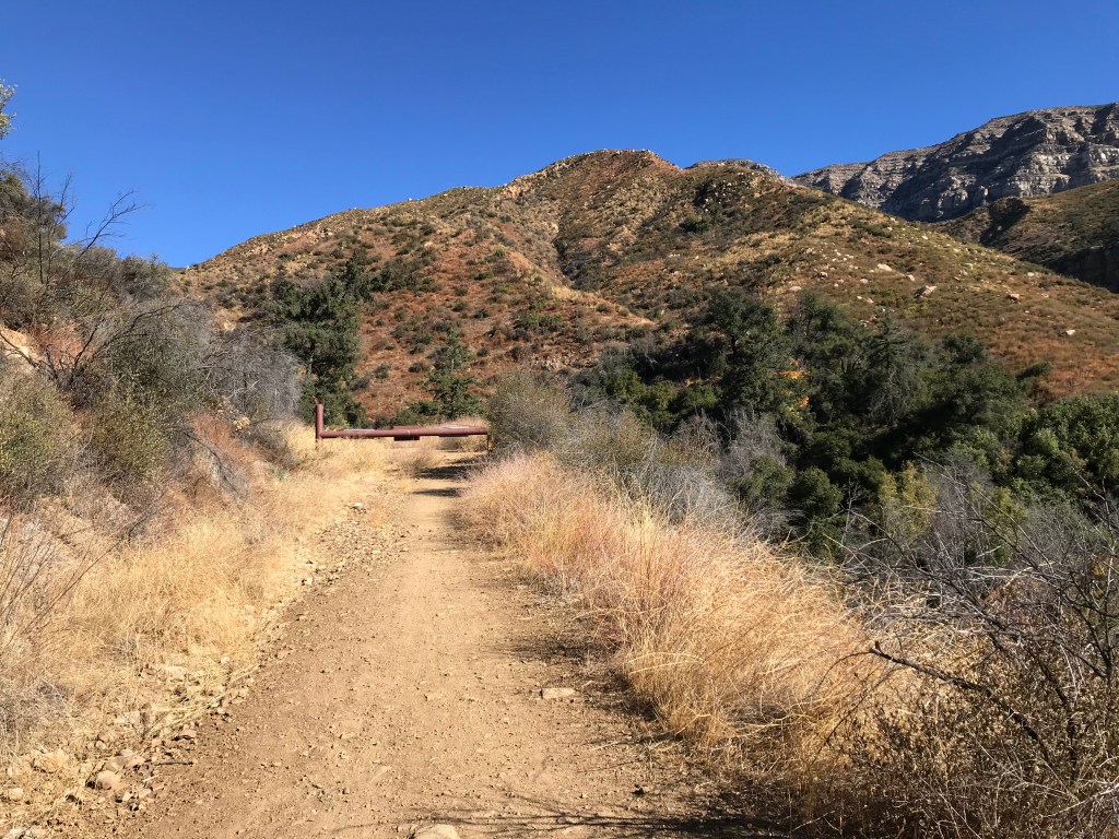
One mile from the parking you will find the first water crossing. It was easy to cross on both sides today.
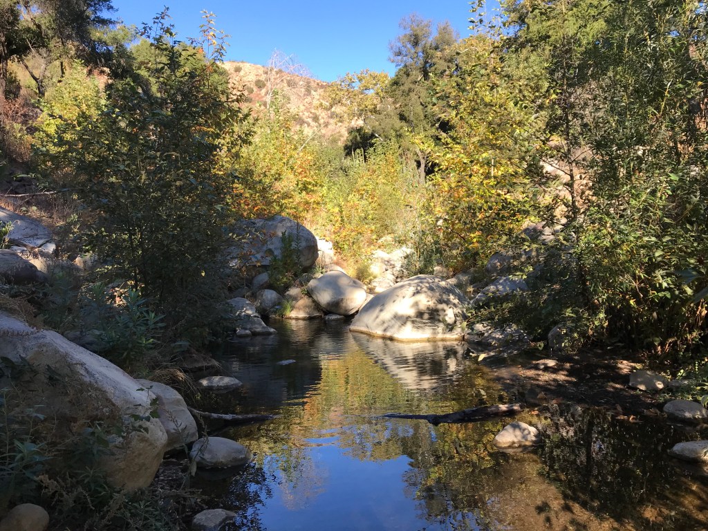
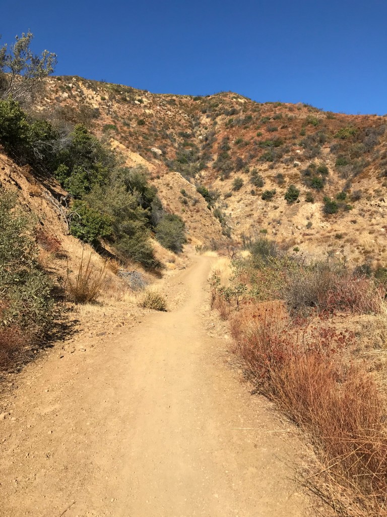
The creek will now be to the left of the road. Today’s hike follows a fire road. There is a constant elevation gain, though gentle, with very few flat areas. The last time I visited here there was a swing over the water a little beyond this crossing. Sadly it has been cut down.

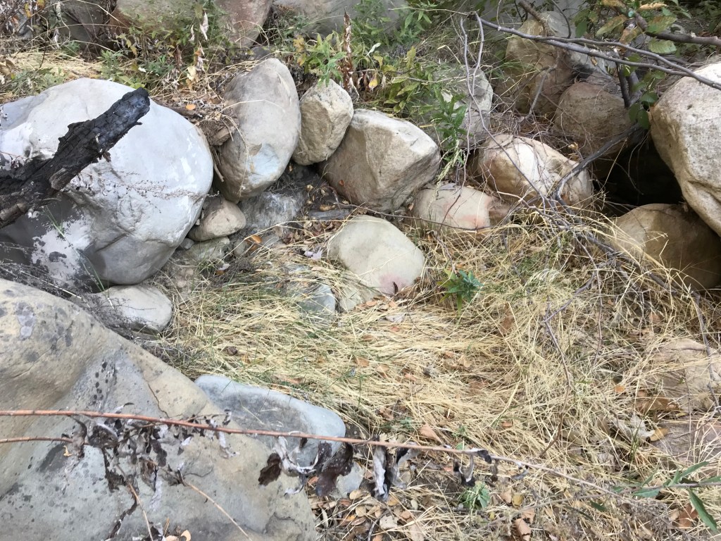
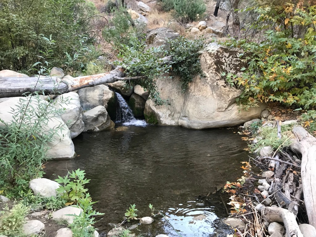
At about mile two you will find the second water crossing. If you have time, and there is still water, take the time to follow the creek from the right. It is beautiful.

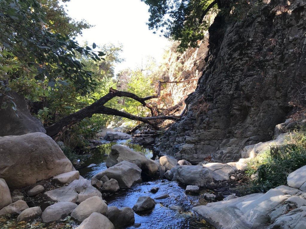
Beyond this you begin to move away from the creek. You will begin traveling up the exposed section of the fire road. The fire road will begin steeply rising to the left. This area is one of my favorites because I know when you get to the top of this rise you can turn around and get the best views of Topa Topa.

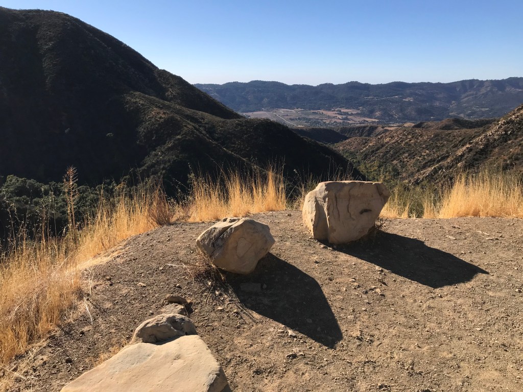
From this landing you will turn to the right and go about another mile on this exposed section. It’s moderately steep.


This is the end of the trail for me today. If you take the single track trail at mile five you will reach the camping area of White Ledge. It’s very pretty and a nice place to set up a hammock and rest near the water. Beyond White Ledge, about three miles, you can get to the summit of Topa Topa. I recommend you take this hike. This is a great time of year to go. In the summer it is HOT. Now to plan for the next adventure. Happy Hiking!
